
GMet Launches Ghana Climate Atlas to Support Climate-Resilient Development
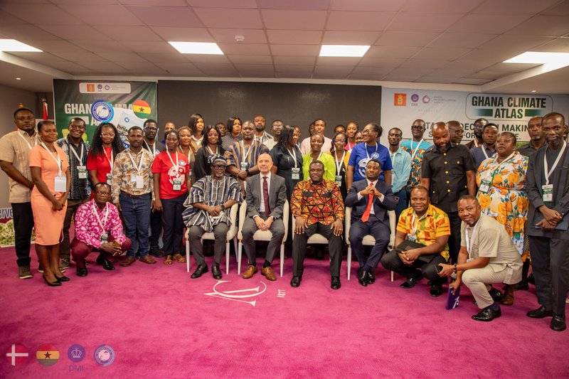
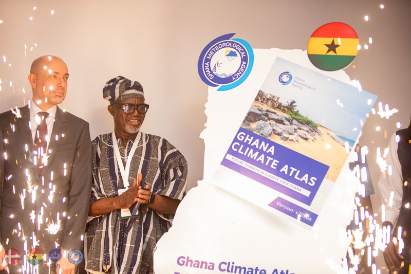
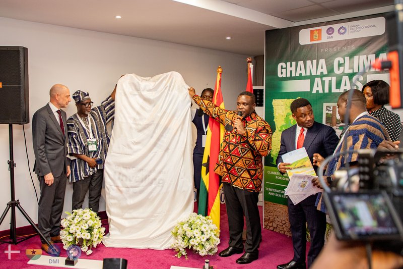
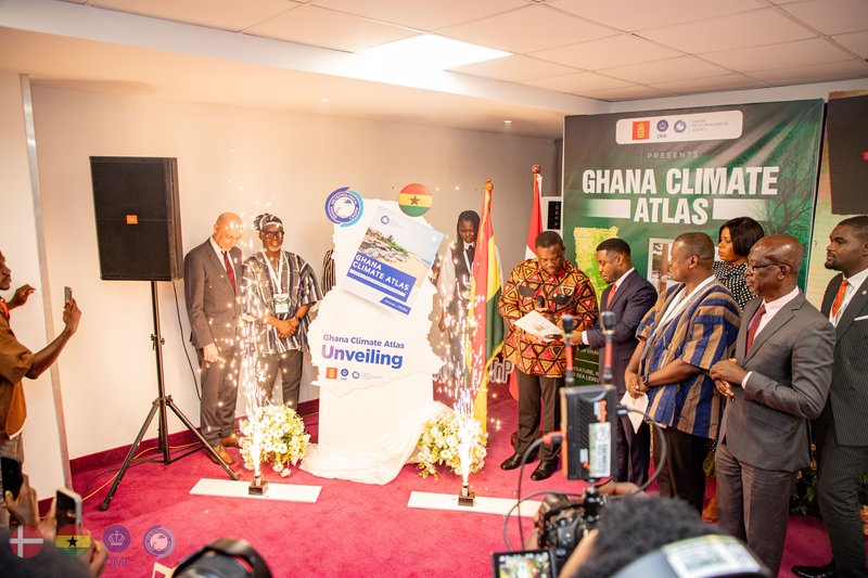
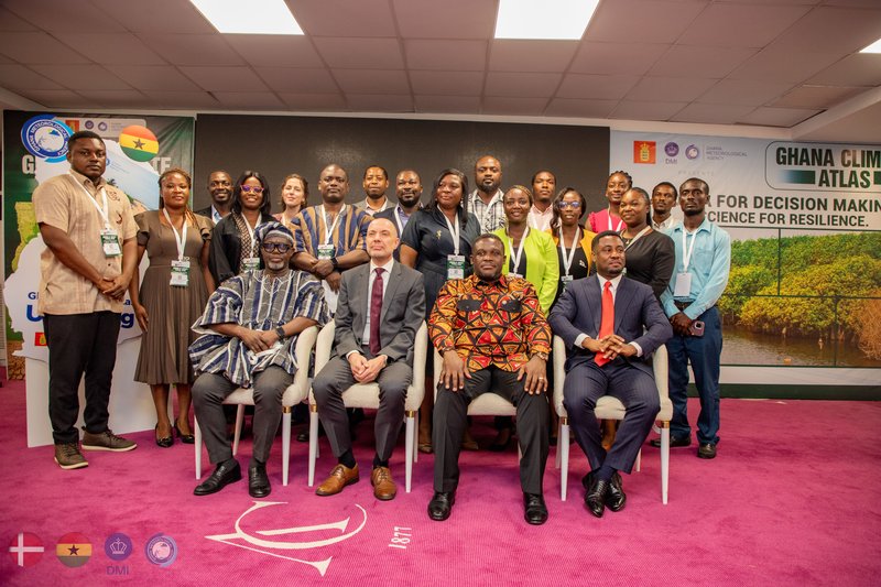
In a significant step toward strengthening climate-resilient development, the Ghana Meteorological Agency, in collaboration with the Danish Meteorological Institute and with support from the Danish Embassy in Ghana, on Wednesday, March 25, 2026, launched the Ghana Climate Atlas, a national climate information platform designed to support planning, risk assessment, and evidence-based decision-making.
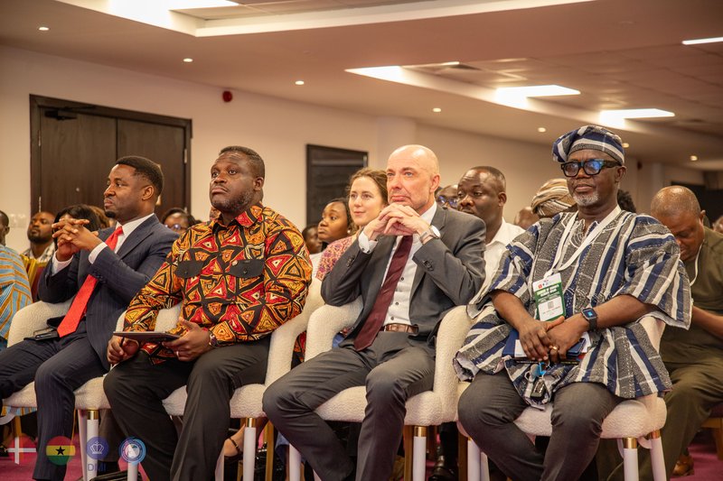
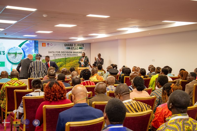
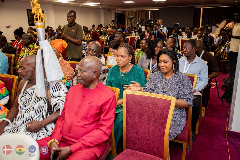
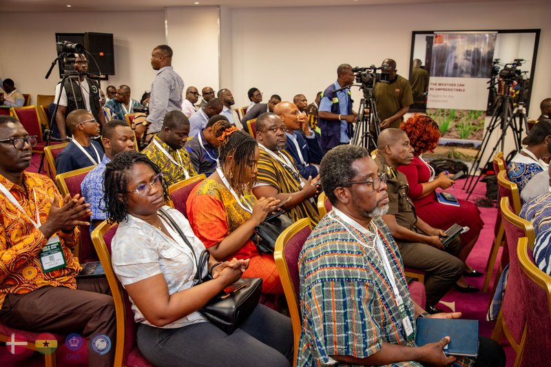
The event, held in Accra, brought together government officials, development partners, researchers, and stakeholders from climate-sensitive sectors, underscoring the increasing importance of climate data in national development.
Designed as an interactive national climate service tool, the platform consolidates historical climate observations and future projections across all regions of Ghana. It is intended to improve access to reliable climate information and support its practical use in decision-making at both national and local levels.
The launch comes at a time when climate variability is increasingly affecting different parts of the country. Northern Ghana continues to experience prolonged dry conditions, while coastal areas face rising sea levels and erosion, with broader implications for agriculture, water resources, infrastructure, and public health.
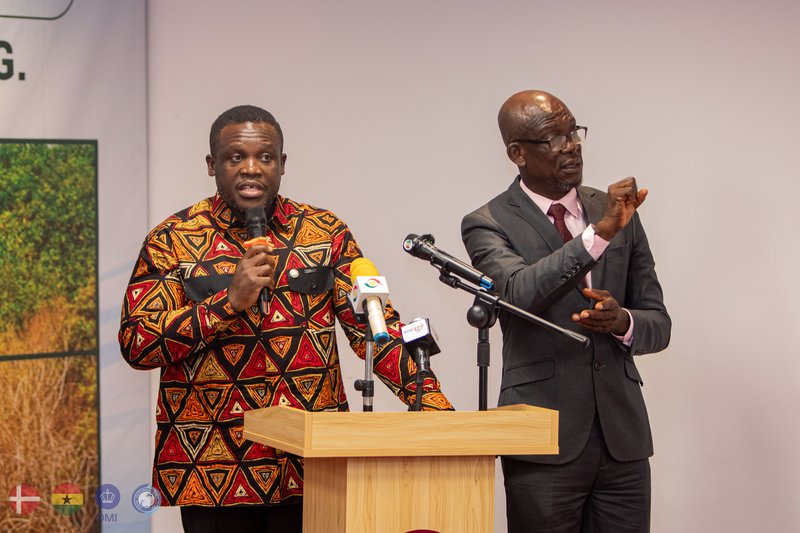
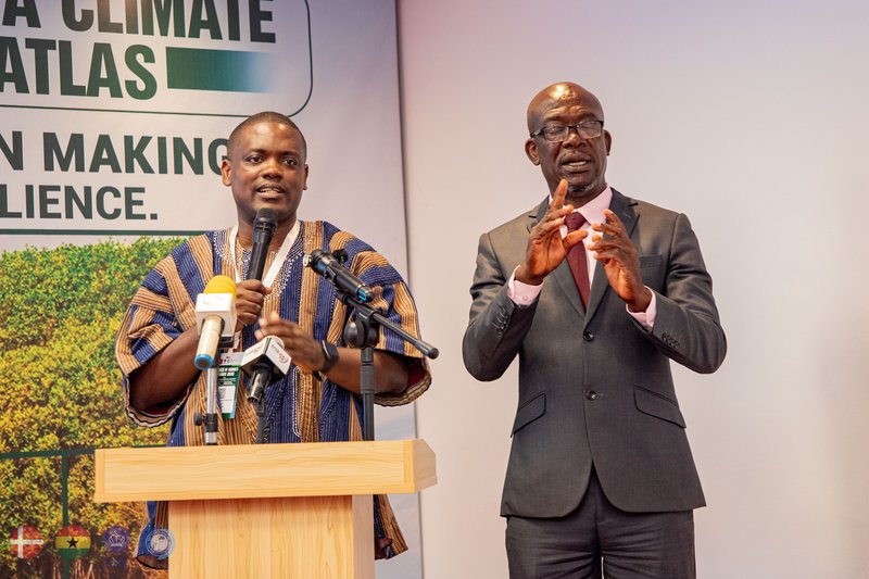
At the launch, Minister for Communication, Digital Technology and Innovations, Samuel Nartey George, emphasised the need to integrate climate information into development planning.
“Climate information is no longer a luxury for scientific research; it is now essential for development planning, economic management, and national resilience,” he said.
He noted that the Atlas would guide infrastructure development and investment decisions by ensuring that projected climate conditions are incorporated into long-term planning across sectors such as energy, transport, and water management.
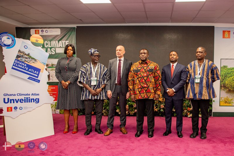
Director-General of GMet, Dr. Eric Asuman, said the Atlas reflects sustained technical collaboration and stakeholder engagement, resulting in a tool that meets international standards while addressing Ghana’s specific needs. He added that the platform is expected to support key national frameworks, including the National Adaptation Plan and Ghana’s commitments under the Paris Agreement.
Danish Ambassador to Ghana, Jakob Linulf, described the initiative as a demonstration of strong international cooperation in addressing climate change and its impacts on economies and livelihoods.

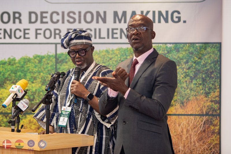
In his opening remarks, the Chairman of the GMet Governing Board called on government agencies, private sector actors, and academic institutions to integrate the Atlas into their planning processes and make active use of the data it provides. He also urged communities to protect weather stations and monitoring infrastructure, describing them as critical national assets.

The Climate Atlas provides high-resolution data that can be applied at the district and community levels, enabling more precise climate risk assessments. It is expected to support sectors such as agriculture, urban planning, disaster risk management, and energy, where climate considerations are increasingly critical.
The platform is also expected to strengthen climate governance by supporting vulnerability assessments, improving public awareness, and enhancing the capacity of institutions and communities to respond to climate risks.
As climate pressures intensify, the Ghana Climate Atlas is expected to play a central role in guiding evidence-based adaptation and ensuring that development decisions are informed by reliable and localized climate data.


©️GMet Communications