
GMet Partners with ESRI to Drive Digital Transformation in Climate Services

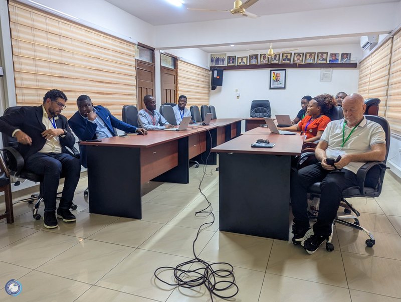
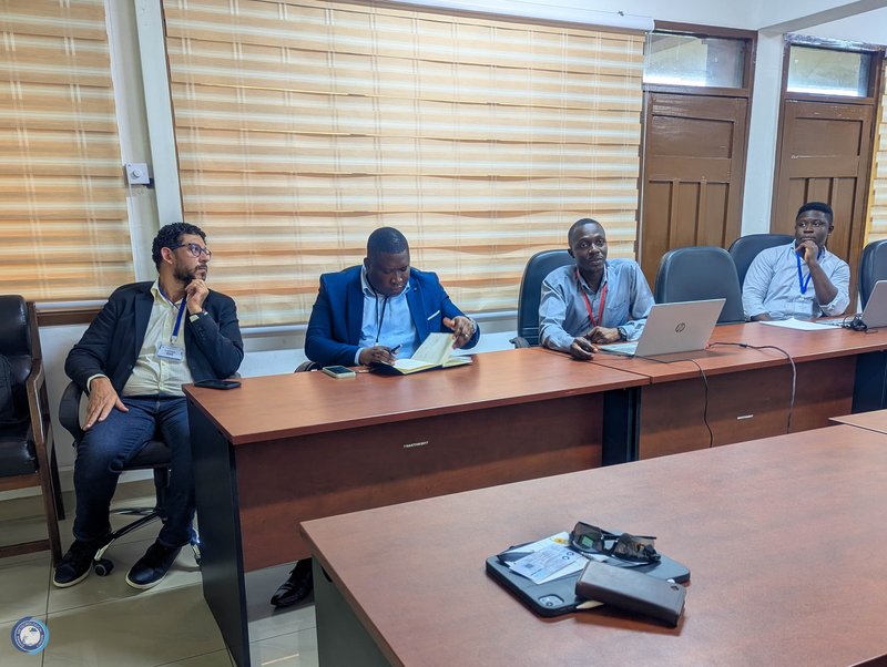
The Ghana Meteorological Agency (GMet) has taken a major step toward strengthening its service delivery and expanding public access to climate information by engaging ESRI, a global leader in geospatial technology. On Tuesday, 7th October 2025, GMet hosted a delegation comprising representatives from ESRI, Sambus Geospatial Limited, and iconGeo to explore opportunities for leveraging ESRI’s advanced GIS products to enhance climate data management, visualization, and dissemination across Ghana.
This engagement, initiated by GMet, aligns with the Agency’s vision to harness modern digital platforms to improve the accuracy, accessibility, and impact of its climate services. The discussions, led by GMet’s Director-General, Dr. Eric Asuman, and Acting Deputy Director-General for Operations, Dr. Ignatius Kweku Williams, focused on how ESRI’s tools can be integrated into GMet’s operational framework to support evidence-based decision-making and strengthen national climate resilience.

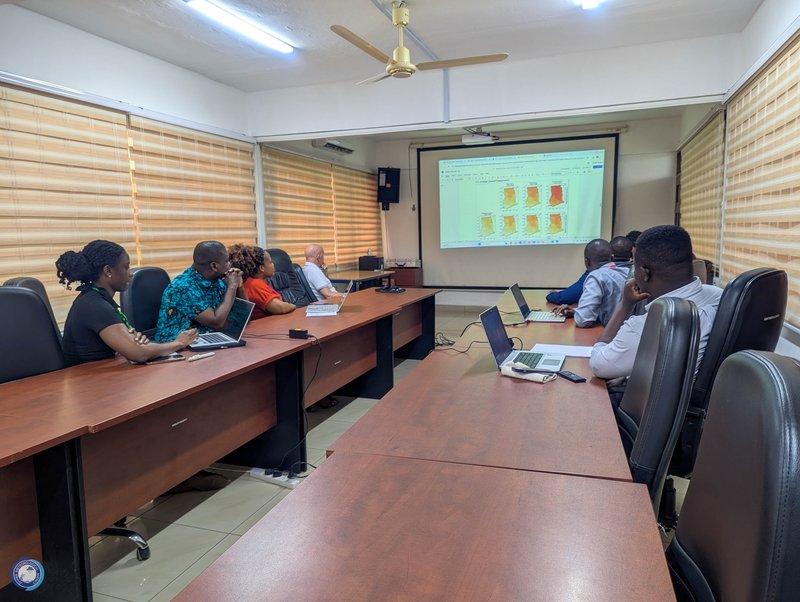
A central highlight of the meeting was the Ghana Climate Atlas, currently being developed by GMet through a Strategic Sector Cooperation (SSC) with the Danish Meteorological Institute (DMI). The Atlas is designed to serve as a comprehensive platform for climate data and projections that support national and sectoral planning. GMet is now seeking to integrate the Atlas and other products into ESRI’s powerful ArcGIS ecosystem to enhance interactivity, visualization, and accessibility. This integration will make Ghana’s climate data more user-friendly and widely available to policymakers, researchers, and the general public.
Speaking during the engagement, Dr. Williams, Acting Deputy Director-General for Operations at GMet, underscored the Agency’s commitment to leveraging innovation and partnerships to transform public service delivery.

“GMet is focused on using technology to make climate information more accessible and useful to the people who need it most. Our collaboration with ESRI will enable us to integrate advanced geospatial tools into our operations, expand our reach through platforms like the Africa GeoPortal, and ultimately deliver more efficient and user-centered climate services,” said Dr. Williams.
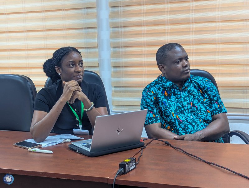
As part of the visit, the delegation held technical discussions with selected staff from GMet’s Information Technology (IT) Unit, Numerical Weather Prediction (NWP) Unit, and the Research and Applied Meteorology Directorate. The session provided a platform for in-depth exchanges on data integration, digital transformation, and how ESRI’s platforms can support GMet’s operational and research activities.
The visit followed the successful Ghana Space Conference 2025, which GMet partnered in hosting in Accra from 6th to 8th October 2025. The delegation from ESRI, Sambus Geospatial Limited, and iconGeo had also participated in the conference, reinforcing their shared interest in advancing the use of space and geospatial technologies to support climate resilience and sustainable development in Ghana.
The discussions concluded with a shared commitment to develop a joint roadmap for collaboration, focusing on climate data integration, digital innovation, and the integration of GMet’s products and services into the Africa GeoPortal. The engagement marks a significant milestone in GMet’s digital modernization journey and reinforces its commitment to using technology and partnerships to strengthen climate services delivery and expand its reach nationwide.


© GMet Communications